
Cape Cruiser
from €37.74
Cabo de São Vicente, about 6 km west of Sagres, is the south-westernmost point of mainland Europe, with a working lighthouse on top of the cliffs. Between Sagres and the cape stand the Sagres Fortress and the Fortaleza do Beliche. The whole coast lies inside the Southwest Alentejo and Vicentine Coast Natural Park.
Boat trips (about 1 h) leave from Porto da Baleeira, Sagres’ harbour, and run along the cliffs past the Sagres Fortress and Beliche to Cabo de São Vicente. Sagres operators also run dolphin- and wildlife-watching trips. Departure towns: Sagres, and nearby Salema, Luz and Lagos for some trips.
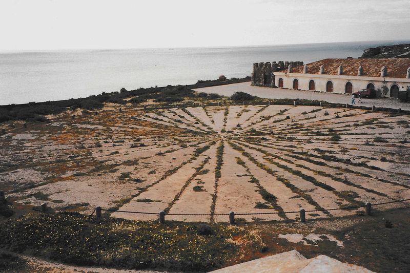
This is the open Atlantic: wind and swell are stronger than on the southern coast, and trips are cancelled when the sea is rough. Summer usually gives the most sailing days; bring a windproof layer at any time of year.
In the Natural Park, keep to marked paths and do not disturb wildlife. The clifftops have no railings in many places — keep well back from the edge, especially in wind. Licensed wildlife operators follow national rules for watching dolphins (distance and time limits).
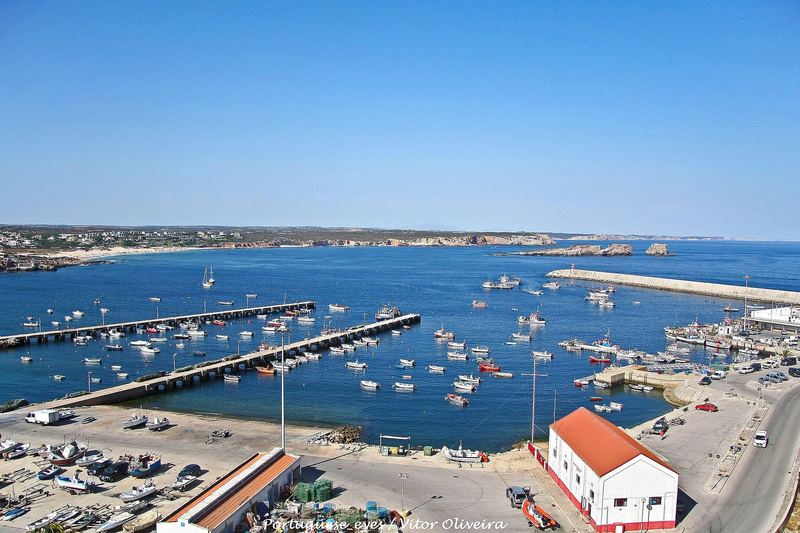
The lighthouse area at the cape and the Sagres Fortress can be reached by car. Boats board from the harbour pontoons; check each operator’s accessibility and age notes in our listings (unknown where not published).
from €37.74
from €42.26
from €42.64
from €42.40
price not published
price not published
price not published
price not published
price not published
Information can change. Confirm prices, times and availability on the operator’s booking page.