
Algarve cave & boat-trip guides
Where to go, how to get there by boat, kayak or SUP, the best season and tides, the rules — and the operators who actually run each trip.
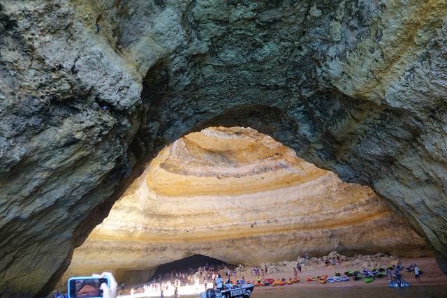
Benagil Cave guide
The Algar de Benagil is the Algarve’s most famous sea cave: a huge dome with a round “eye” in the roof and a small sandy beach inside. Here is how to see it — honestly and safely.
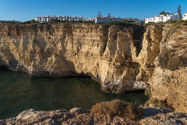
Carvoeiro & the cave coast
Carvoeiro is the closest town to Benagil and the starting point for many small-boat cave trips. Here is what to know — plus Lagos’ Ponta da Piedade.
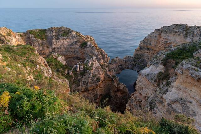
Ponta da Piedade (Lagos) guide
Golden sea stacks, arches and grottoes about 2.5 km south of Lagos town centre — one of the most photographed stretches of the Algarve coast. The grottoes are only seen properly from the water.
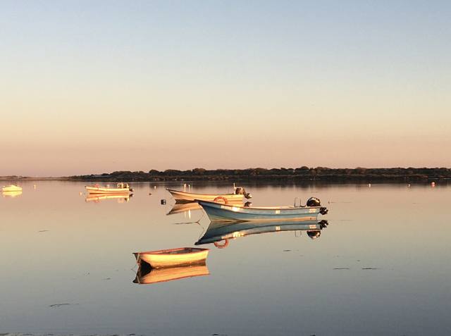
Ria Formosa & the barrier islands
A lagoon of channels, salt marsh and sandy barrier islands stretching about 60 km along the eastern Algarve, from the Ancão peninsula to Manta Rota. Protected as a Natural Park since 1987.
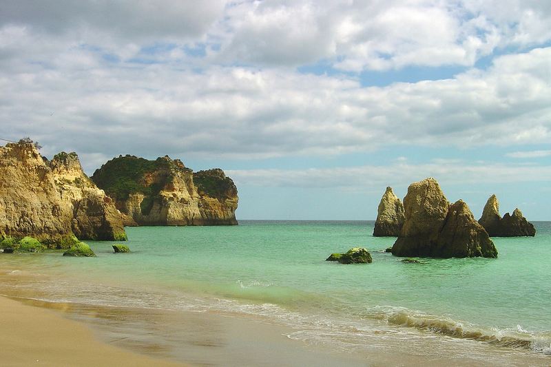
Alvor, Prainha & Três Irmãos
Between the Alvor estuary and Praia do Vau (Portimão), the coast is cut into rock towers, tunnels and small coves — best known at Praia dos Três Irmãos and Prainha.
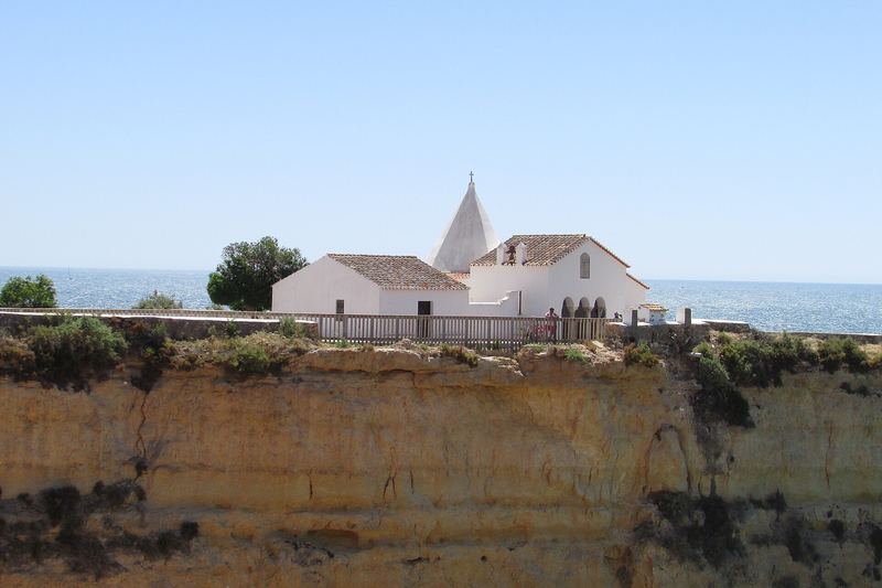
Ferragudo to Senhora da Rocha (Lagoa coast)
The Lagoa coast runs from the Ponta do Altar lighthouse at Ferragudo, past Carvoeiro and Benagil, to the clifftop chapel of Nossa Senhora da Rocha near Armação de Pêra — caves, arches and beaches only reachable by sea.
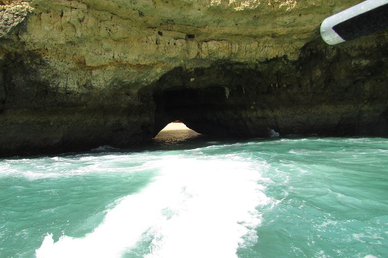
Albufeira caves & Gruta do Xorino
Albufeira’s coast hides sea caves and arches on both sides of the old town, including the Gruta do Xorino at the western end of Praia do Peneco (Praia do Túnel).
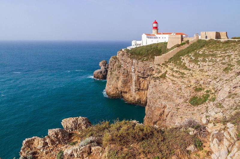
Sagres & Cabo de São Vicente
At the south-western tip of mainland Europe, Sagres and Cabo de São Vicente end in sheer cliffs about 60–75 m high, facing the open Atlantic.
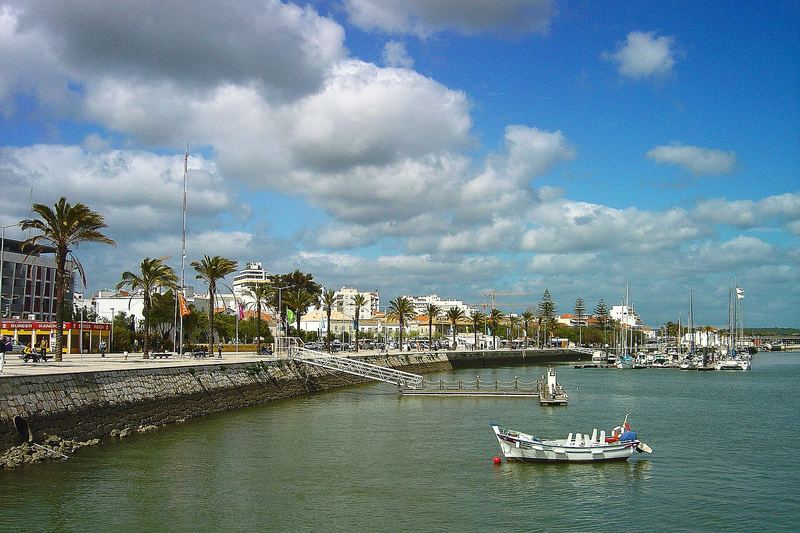
Arade river: Portimão to Silves
A calm river cruise of about 15 km from Portimão up the Arade to Silves, the old Moorish-era capital of the Algarve, with its red sandstone castle.
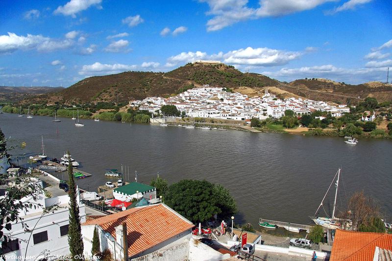
Guadiana river (Vila Real de Santo António)
The Guadiana forms the border between Portugal and Spain at the eastern end of the Algarve. River cruises from Vila Real de Santo António head upstream past Castro Marim and Ayamonte into quiet countryside.
Facts in these guides come from official and local sources (ICNF, Capitania do Porto de Portimão, municipal and tourism boards). Photos: Wikimedia Commons, see Credits.